The Colorado Coalfield War Archaeological Project
Digital Atlas
Colorado's Southern Coalfields |
|
1890-1912 |
|
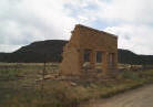
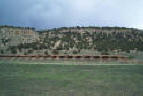
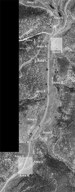
The archaeologists of the Colorado Coalfield War Archaeological Project conducted an intensive field study of Berwind Canyon, recording the position of building ruins and noting artifact locations. We divided the camp into different areas to keep our research organized. Although we mapped and recorded items throughout the canyon, we centered our excavations in Area B and Area K. Based on historic maps and surface artifacts, Area K corresponded to the period before the strike of 1913-1914, while Area B or "Frijole Hill" related to life after the strike. By looking at these two areas, we were able to study a comparison of the periods before and after the strike to see what changes in daily life occurred because of the strike. On the map below, click on the highlighted Area K to link to information on the archaeology related to before the strike of 1913-1914. |
 |
|
|
|
|